
Damaraland is alternatively known as Hereroland, both names being derived from the local people inhabiting the region. The so-called Damara consist of two probably distinct peoples, known respectively as “the hill Damara” and “the cattle Damara,” i.e. those who breed cattle in the plains. The term Damara (“two Dama women”) is of Hottentot origin, and is not used by the people, who call themselves Ova-herero, “the merry people”. The name Damaraland is still commonly used in tourism circles, although the entire region has now been renamed; the southern section now lies in the Erongo region while the north forms part of the Kunene region.
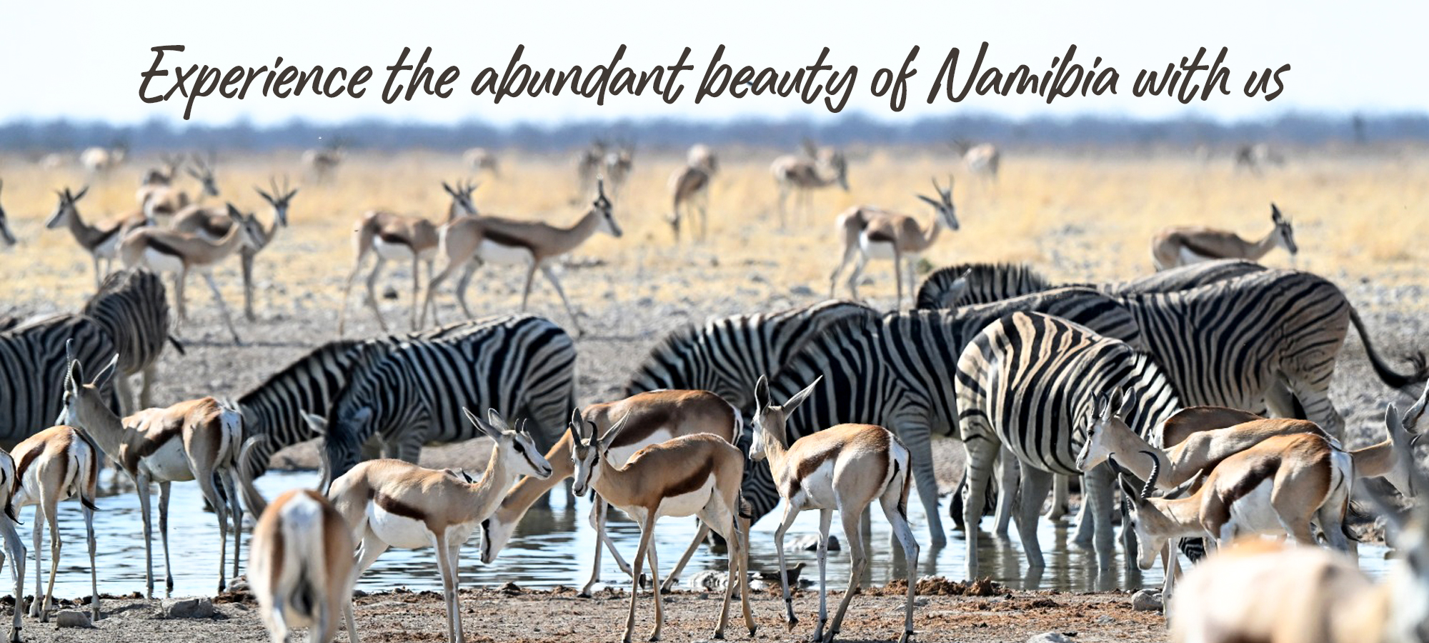
This beautiful mountainous region is home to an assortment of scientifically important desert-adapted wildlife such as elephant, rhino, zebra and lion, which somehow survive and thrive in this near-barren landscape.
Another not-to-be-missed attraction of the Damaraland area is the picturesque Brandberg range (literally “fire mountain”), that contains Namibia’s highest mountain at 2,573m, which is home to thousands of ancient rock paintings, most notably the White Lady.
The rocky outcrops of Twyfelfontein is another top-notch attraction, and one of Namibia’s two UNESCO World Heritage Sites, featuring exceptional Bushmen engravings, which are considered to be some of the best-preserved etchings on the continent.
The Spitzkoppe (literally “sharp head”) is one of Namibia’s most recognisable landmarks. It’s shape has inspired its nickname, “The Matterhorn of Africa”, but the similarities begin and end with its sharp peak. It is actually the remnant of an ancient volcano, formed in the same way as the Brandberg and Erongo massifs. It was first climbed in 1946 and is now a popular climbing destination with local and foreign mountaineers alike, with plenty of technical climbs available.
There are several other important geological rock formations nearby that are not to be missed, including the “organ pipes” arrangement (a distinctive series of dolerite pillars that have been exposed by erosion), the petrified forest (believed to be more than 200 million years old) and the much-photographed “burnt mountain” (a flat-topped mountain that derives its name from the piles of blackened limestone at its base).
Join one of our Popular Safaris to experience this wonderful safari destination with us.
